
Yates Gulch-FDT 1864
Difficulty:
Moderate
Trail Use:
Low
Length:
2.7 miles
Elevation:
Starts at 8051 ft, ends at 9666 ft, highest point 9666 ft
Elevation Gain:
+1615 feet
Open To:
Hiking, horseback riding
Access
:
Travel 7 miles west of Eagle to the Gypsum exit and make a left towards town.
Take a right at the National Forest Access sign,
Trail Highlights
:
The trail is in good condition and easy to follow and an excellent route for those who enjoy experiencing a more arid part of the forest.
The trail begins as an old jeep road that follows an intermittent stream and goes through sagebrush and young aspen, then traveling between dry gypsum hills and eventually tall red sandstone cliffs.
The trail will enter scrub oak and serviceberry shrubs and then become steep and rocky.
The trail levels out near the top of the gulch and continues through aspen and spruce/fir forests.
The trail ends at Yates Reservoir, where you can connect onto West Hardscrabble– FDT
2222.
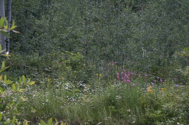
On the lower half of the trail, it is possible to find the clear-colored crystals of gypsum as well as an abundance of wildflowers.
Further up the trail, some of the red sandstone rocks have ancient ripple marks, evidence that this area was once under a shallow sea long ago.
A vast array of butterfly species can be spotted such as blues, sulfurs, fritillaries, skippers and swallowtails.
Some other colorful insects including fast-flying tiger beetles, cicadas, and the nectar loving hover flies can also be seen along the trail.