Lifes Adventures

“W” Mountain-FDT 1817


Difficulty:                  Moderate

Trail Use:                  Moderate

Length:                     10 miles

Elevation:                 Starts at 9606 ft, ends at 11,525 ft, highest point 11,749 ft

Elevation Gain:        +1919 feet

Open To:                  Hiking, horseback riding


Access :   
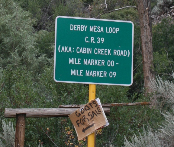
Travel 13 miles west of Eagle on I-70 to the Dotsero exit and follow the signs for Sweetwater/Burns by turning north, right, onto the Colorado River Rd. Follow this road for 22 miles to the Derby Junction and turn left onto Derby Mesa Rd.   Travel on this road for 6.5 miles and turn left onto South Derby Jeep Rd., FDR 613, a high clearance 4-wheel drive only road.   Follow FDR 613 for 3.7 miles to the intersection with FDR 616 and turn left.   FDR 616 will end 2 miles up at the intersection with the trailhead, “W” Mountain-FDT 1817 is to the right and Ute-FDT 2032 is to the left.

Trail Highlights :   The first 2.5 miles ascend towards the rim of the White River Plateau at a very steep grade.   Once you are on the White River Plateau the terrain is mostly rolling hills near above timberline with very long sections of meadows. In the meadows the trail may be faint at times, but it is marked with rock and log cairns.   The trail intersects with South “W” Mountain-FDT 2060 about 5 miles from the trailhead. This trail leads the traveler towards the Sweetwater Creek drainage.   After about 8.3 miles the trail intersects with the Turret-Crescent– FDT 2269, if you go right it will lead you to Mackinaw and Crescent Lakes, to the left will lead you to Shingle Peak.   The trail ends at the junction with Island Lake-FDT 1842.   The trail offers spectacular scenery and many opportunities for photography its entire length.   Various species of wildlife are often visible during the early morning and evening hours.

Questions? Just Ask!

By giving us your phone number and email address, you are giving Susan Rollins permission to contact you via email, phone, or text.