Lifes Adventures

Trappers Lake-FDT 1816


Difficulty:                  Moderate

Trail Use:                  Moderate

Length:                     14.5 miles

Elevation:                 Starts at 9760 ft, ends at 9941 ft, highest point 11,283 ft

Elevation Gain:       +181 feet

Open to:                    Hiking, horseback riding


Access :   
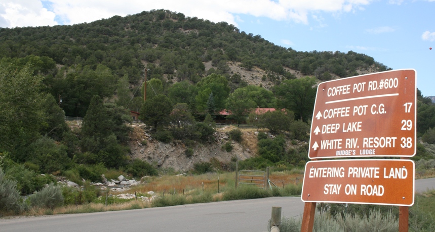
Travel 13 miles west of Eagle on I-70 to the Dotsero exit and follow the signs for Sweetwater/Burns by turning north onto Colorado River Rd.   Travel for 1 3/4 mile and turn left onto Coffee Pot Rd., FDR 600, and stay on this road for 33 3/4 miles, passing Deep Lake, until you get to Indian Camp Pass and the trailhead. After you pass Deep Lake, the road will become very rough.

Trail Highlights :   The trail is a well marked, easy to follow route from Indian Camp Pass toTrappers Lake, which is in the Blanco Ranger District.   It is rated moderate because of the initial climb out of Indian Camp onto the plateau above.   The hiker gains nearly 1,000 feet of elevation during the first 1.5 miles of the trip, but then it is lost again during the final 3 miles.   The middle 8.2 miles of the trip leads through the large open parks of the Flat Tops Wilderness, then it dips into Fraser Canyon and goes on to Trapper’s Lake.   This trail offers access to numerous other trails and lakes in the Shingle Peak area, and round trips of varying lengths back to Indian Camp Pass are possible.   Trapper’s Lake offers developed camping as well as fishing for Colorado cutthroat and brook trout.

Questions? Just Ask!

By giving us your phone number and email address, you are giving Susan Rollins permission to contact you via email, phone, or text.