
Length:
3.25 miles (one way)
Trail Use: High
Difficulty:
More Difficult
Open To: Hiking, Horseback
Beginning Elevation:
8,608 ft.
Ending Elevation: 10,788 ft.
Elevation Gain:
+2,180 ft.
USGS Map(s): Vail East
Access from Vail
:
Travel east on I-70 to exit 180, exit here and turn right onto the south frontage road.
Proceed 1 mile to
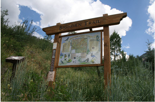
Trail Highlights
:
The first 1/2 mile of the trail climbs steeply out of the
Attractions:
The Bighorn Creek Trail is less steep than the other East Vail trails. Just before mile 2 and past a large fern grove, there is a side trail to an overlook down the steep drop to Bighorn Creek. This point makes a good destination for short hikes. The cabin is unlocked to offer shelter for hikers. Please respect this private property and help protect it for others to use and enjoy.