
Lifes Adventures
Beaver Lake Trail
Beaver Lake Trail #2109
Length: 3.0 miles (one way) Trail Use: Moderate to High
Difficulty: Moderate Open To: Hiking, Horseback
Beginning Elevation: 8,120 ft. Ending Elevation: 9,788 ft.
Elevation Gain: +1668 ft. USGS Map(s): Grouse Mtn.
Access from Vail : Travel west from Vail on I-70 to Exit 167 for Avon. Exit here and head south from the roundabout onto Avon Road proceeding south under the Interstate, past U.S. 6, and to the gate for Beaver Creek. The road name changes here to Village Road. Follow this up to the Beaver Creek Village parking structure.
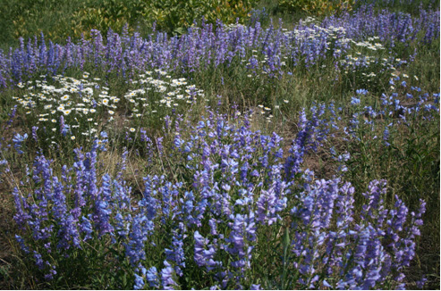
Trail Highlights : The trail begins at the base of the Centennial Express chairlift and parallels Village Drive and then Elk Track road for approximately the first 1/4 mile until the road ends. Hike uphill from here through aspens and thimbleberry on an old wagon trail to an intersection with the Village to Village trail and some ski lifts. Look for trail signs as you cross the Larkspur ski run and then follow the old stage road along the creek, past the Matawin Teepee Village, and across a new foot bridge. You will proceed up the trail below Royal Elk Glade, part of Grouse Mountain, and through deep woods broken later by meadow. The valley narrows as the trail approaches the Holy Cross Wilderness boundary at mile 3. From here you are only 0.3 miles from Beaver Lake. For most, this is the final destination, but the trail does continue an additional 4 miles to Lower and Upper Turquoise Lakes.