
Lifes Adventures
Old Vail Pass
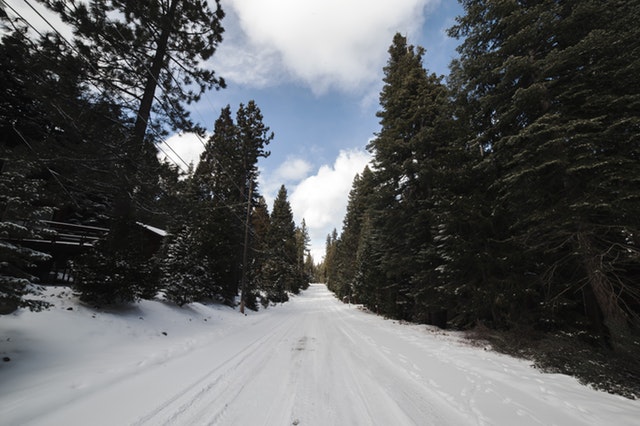
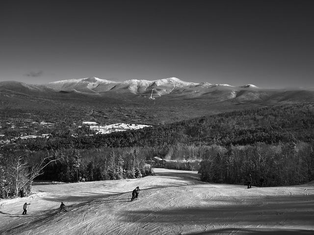
The Old Vail Pass is a popular trail in Vail for a variety of reason. This trail has some incredible sites, scenes, and views along it's sloping 4 miles. If you're planning to snowshoe or ski, here's the information you need to know to prepare, as well as to get excited about an incredible outdoor experience!
The Pass
Length: 4.16 miles (one way)
Difficulty: Easy
Beginning Elevation: 8,615 feet
Elevation Gain: +1,015 feet
Pass Details
Trail Use: Light to Moderate
Open To: XC, Snowshoe
Ending Elevation: 9,630 feet
USGS Map(s): Vail East
Easy Access from Vail
Are you a Vail, CO resident or visitor? This trail is perfect for you. You can easily reach this incredible trail via exit I-70 at East Vail, then take exit 180 and drive 1.9 miles east to the end of the plowed south frontage road just past Main Gore Drive. This easy accessibility makes this pass
Attractions & Considerations
This trail has incredible historic and cultural significance. This was the route that old Highway 6 took over Vail Pass before I-70 was built. But even before that, this route was used by nomad Ute Indians. Today, be aware that the snow may be thin during the early winter and spring months due to the pavement below the snow.

Trail Highlights
Ski or snowshoe 0.4 miles toward the bike path gate. (Snow may be thin under the highway bridge.) Pass the Gore Creek trailhead and campground but don’t tour that drainage due to avalanche danger. The old Vail Pass route is a good mid-winter trail that is gradual and scenic.
Map the Trail!
To determine whether you want to experience this incredibly gorgeous trail, perfect for snowshoeing, skiing and more, or simply site seeing, here is a detailed topographic map. Use this map to view elevations, the length of the trail, and the direction of the trail as a whole.
