GORE CREEK TRAIL #2015


Length: 5.48 miles to Gore Lake (one way)       Elevation Gain: +2,679 ft.

6.8 miles to Red Buffalo Pass (one way) +3,107 ft.-71 ft. = +3,036 ft.

Difficulty: Moderate to More Difficult                   Trail Use: High

Beginning Elevation: 8,711 ft.                             Open To: Hiking, Horseback

Ending Elevation: 10,788 ft.                                 USGS Map(s): Vail East


Access from Vail : Take Exit 180 from I-70 for East Vail. If traveling eastbound, turn right at the bottom of off-ramp. If traveling westbound, turn left at the bottom of the off ramp. Continue east down Bighorn Road almost to the end, approximately 2.5 miles. The trailhead is on the left before you reach the Gore Creek campground. Parking is limited. Please park at the trailhead, not at the campground.

Trail Highlights : 
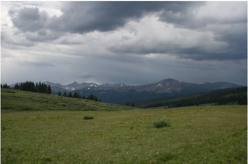
The first 4 miles of the trail climbs alongside Gore Creek. There are some short steep sections along the way. The trail winds through meadows and aspen groves which change to conifer stands as the elevation increases. At mile 4, the trail forks; straight ahead goes over Red Buffalo Pass to Summit County, the left fork goes to Gore Lake. From the fork, the trail climbs though spruce and fir forest into the alpine tundra to Gore Lake. The trail is steeper in this section.

Attractions : A short hike along Gore Creek can provide pleasant picnic spots or great fishing opportunities. This trail is one of the most popular in the Eagle's Nest wilderness. Please help lessen the impact of humans in this area by packing out your trash and trash that has been left by others. If you plan on camping overnight at the lake, please use a backpacking stove - there is little wood left in the vicinity.
 

Questions? Just Ask!

By giving us your phone number and email address, you are giving Susan Rollins permission to contact you via email, phone, or text.