CROSS CREEK #2006
Length:
14 miles (one way)
Trail Use: Moderate to High
Difficulty:
Easiest to More Difficult
Open To: Hiking, Horseback
Beginning Elevation:
8,514 ft.
Ending Elevation: 11,816 ft.
Elevation Gain:
+3,303 ft.
USGS Map(s): Minturn, Mt Jackson,
Mt of the Holy Cross
Access from Vail
:
Travel west on I-70 to Exit 171 for Minturn and Hwy. 24. Turn right onto Hwy 24 and continue for 5 miles, passing through Minturn, to
Tigiwon Road #707 (this road is on the right immediately before crossing a bridge over the
Eagle
River). Turn right onto this dirt road and continue about 2 miles to the trailhead on the right.
Trail Highlights
:
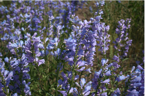
The trail begins following a ridge and then drops down to Cross Creek. There is a bridge crossing at mile 1 in a meadow that is usually filled with wildflowers. This makes a nice destination point for a short day hike. Or, continue a little further and there is a pond surrounded by rocks that offers a good lunch spot. Around mile 2,
Mount of the Holy Cross is visible from the trail; on the eastern face of the mountain there is a permanent snow field that is in the shape of a cross. At mile 6, Cross Creek Trail intersects Grouse Mountain Trail. Reed's Meadow is about 2 miles further and is a long open meadow in a glaciated valley. On the way to
Treasure
Vault
Lake, short side trips to
Harvey
Lake (at mile 11) and
Blodgett
Lake (at mile 13) offer good fishing and timberline lake scenery. The last few miles of the trail pass through open meadows with wildflowers and mining relics. There is evidence of mining cabins, ore mills, and old mines. The trail follows an old wagon road to
Treasure
Vault
Lake and the intersection with the Missouri Lakes Trail #2003 and Fancy Pass Trail #2006.