
Difficulty:
Moderate
Trail Use:
Low
Length:
2.79 miles
Elevation:
Starts at 9550 ft, ends at 10,775 ft, highest point 10,775 ft
Elevation Gain:
+1209 feet
Open To:
Hiking, horseback riding
Access
:
From Eagle, take I-70 west 7 miles to the Gypsum exit, turn left after exiting.
Head towards town, turning right at the Forest Access sign,
Trail Highlights
:
The trail begins in spruce and fir and may become difficult to find in places, before it crosses Antones Cabin Creek about 0.4 miles.
Be sure to follow the Forest Service blazes on the trees which look like a lower case I. The trail runs flat for a while, then will briefly descend before ascending into a gradual climb again.
To the east of the trail it is steep and covered with rock scree, the trail continues in the trees to the right of the screen.
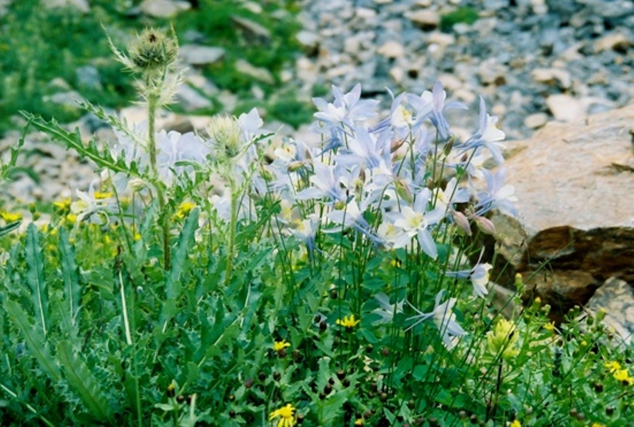
North of Red Table Mountain a few scattered lakes can be found surrounded by rock scree, with many wildflowers adding color to the serene lake settings.
Due to winterkill and the extreme fluctuation of water levels at these lakes, there are no fish.